
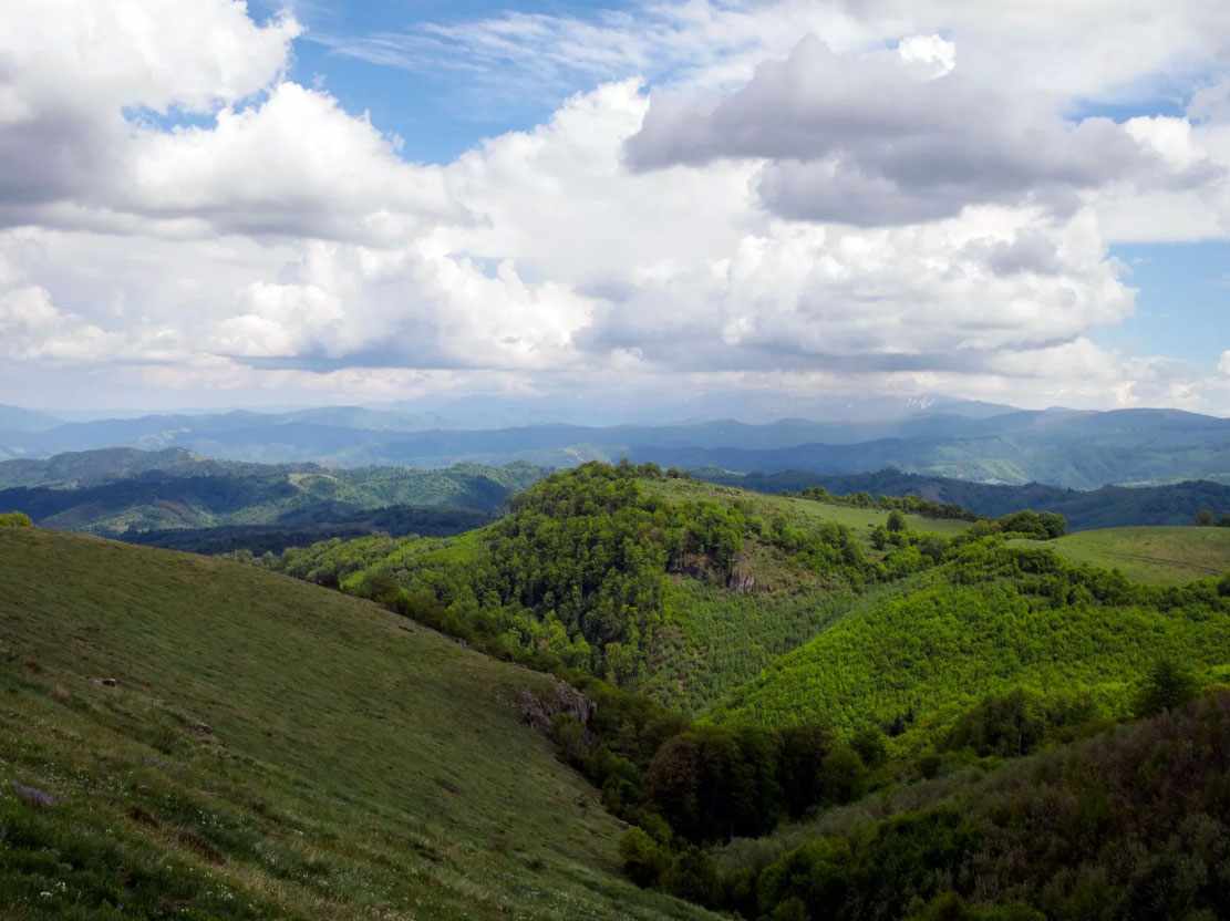
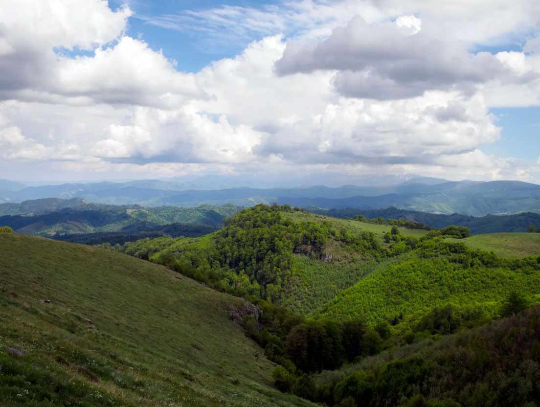
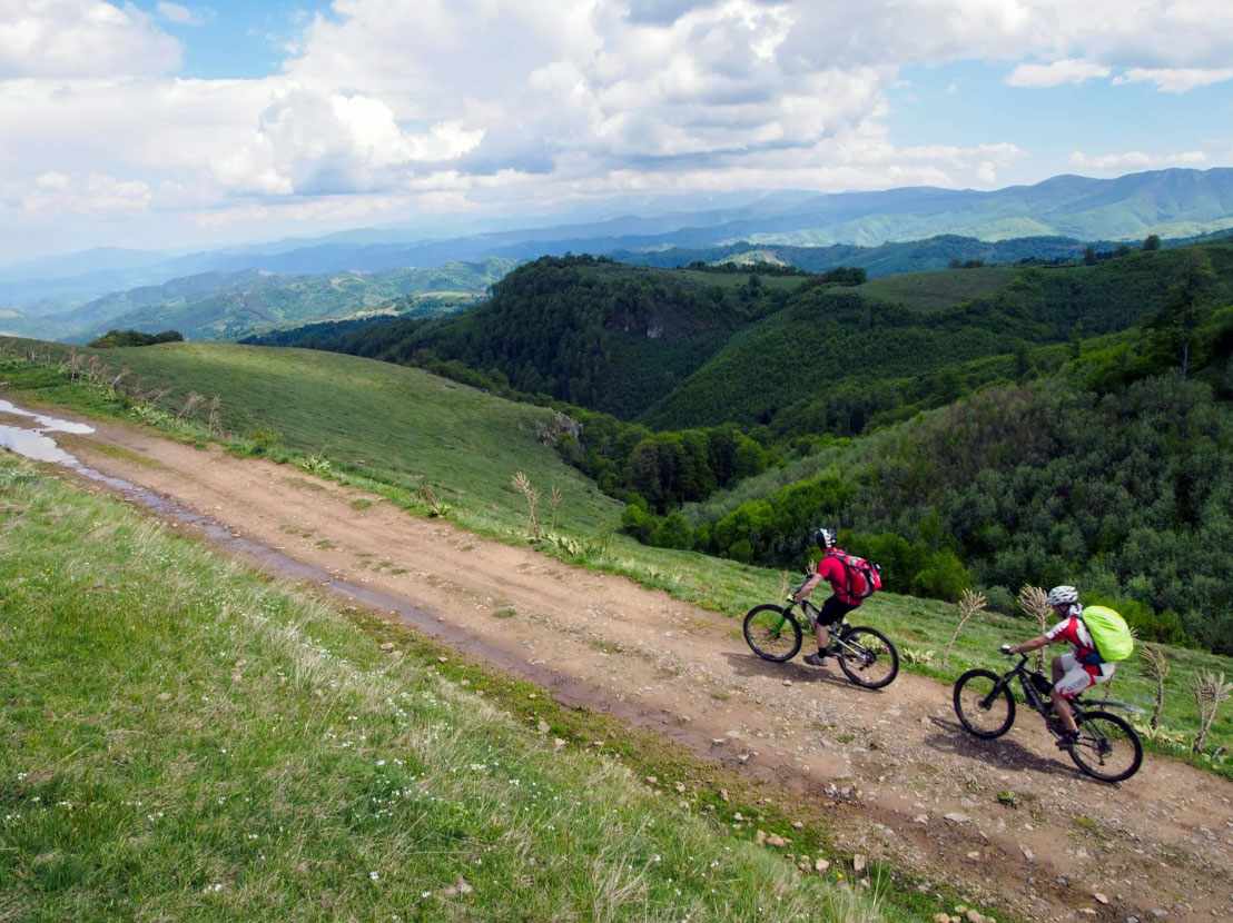
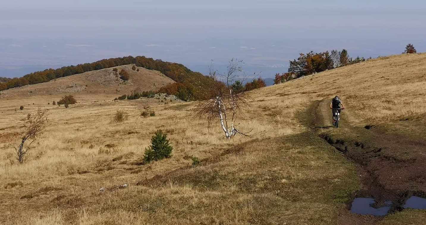
This route is suitable for both mountain biking and hiking and offers a combination of physical exertion, rocky views and varied terrain.
Starting point: the city of Vratsa - тhe route starts from the city of Vratsa, located at the foot of the Vratsa Mountain. The city is known for its karst rock massifs towering above it - Okolchitsa Peak, Markov Kamak, Vratsata, as well as the highest waterfall in the Balkans - Skaklya. Leaving the city, the route quickly enters mountainous terrain, where the asphalt is left behind, and the serpentines of Medkovets come to the fore.
The serpentines are a winding path that climbs the mountain slope in a series of bends. This is a difficult but attractive part of the route, challenging for cyclists but extremely satisfying.
After climbing the serpentines, the route enters a flatter and wider area – Patleyna. This is an open plateau with meadows, bushes and panoramic views south towards the Balkan Mountains.
Continuing south, you reach one of the most interesting and distinctive places on the route – the rock massif "Ushite". Its name comes from the shape of the two main rock formations, which resemble ears protruding from the ridge.
After passing through Ushite, the route begins a long, technical descent along paths and dirt roads to the village of Zverino.
The village of Zverino is strategically connected to Vratsa and Sofia via the railway line. The village has shops, guest houses and a train stop - an ideal place for the end point of the route.